Revised Version
Revision 1 (latest)
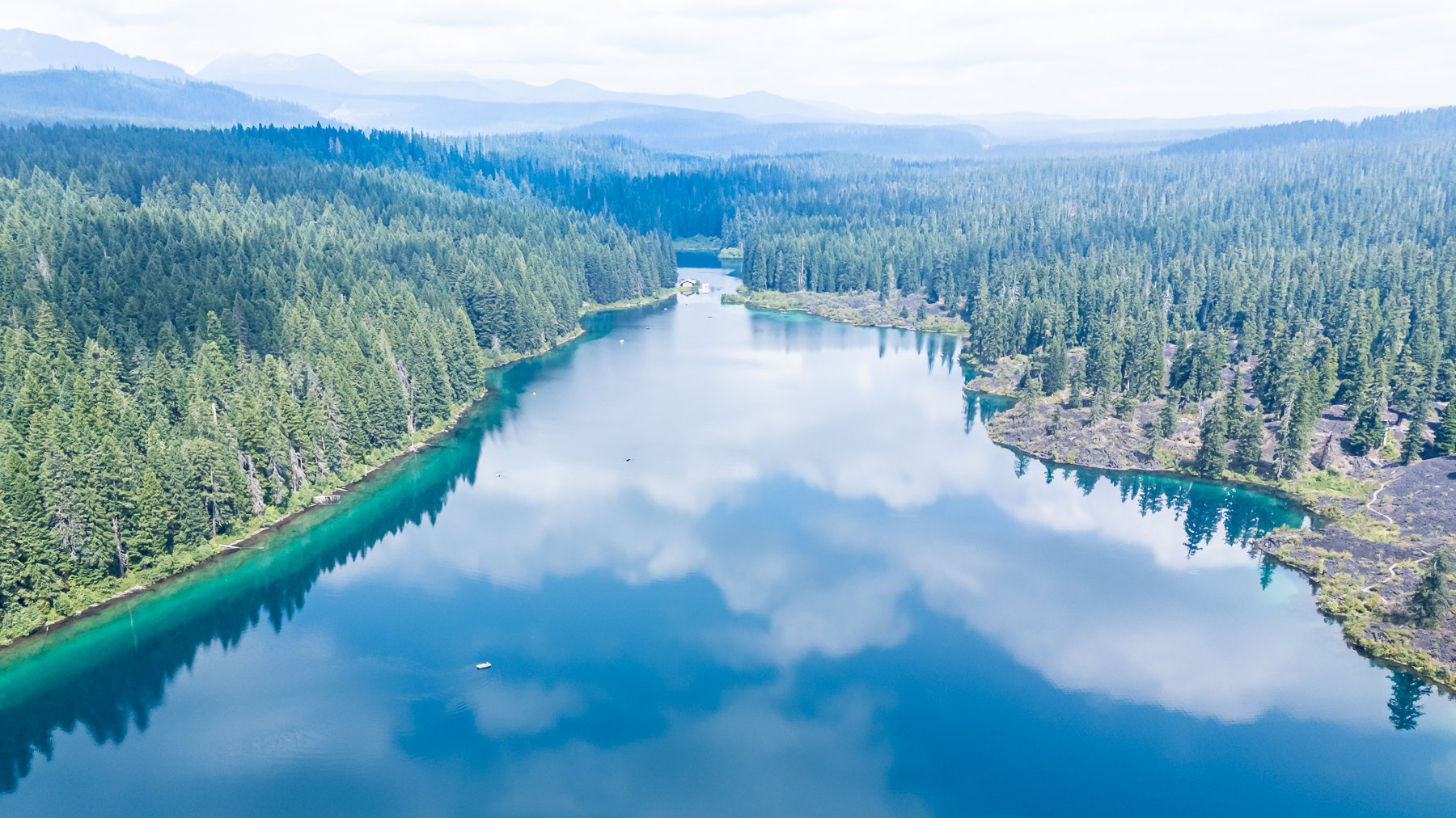
What changed: I cropped to remove the reflection variations along the bottom edge, strengthened the mask on the trees right and left, lowered exposure a tiny bit, increased contrast a tiny bit, and increased blue saturation a tiny bit. I’m still not like that shadow of a cloud on the left side. I wish it were more irregular shaped, but that would be a lot of machinations to make that less circular.
Added after receiving feedback from the community.
Original Version
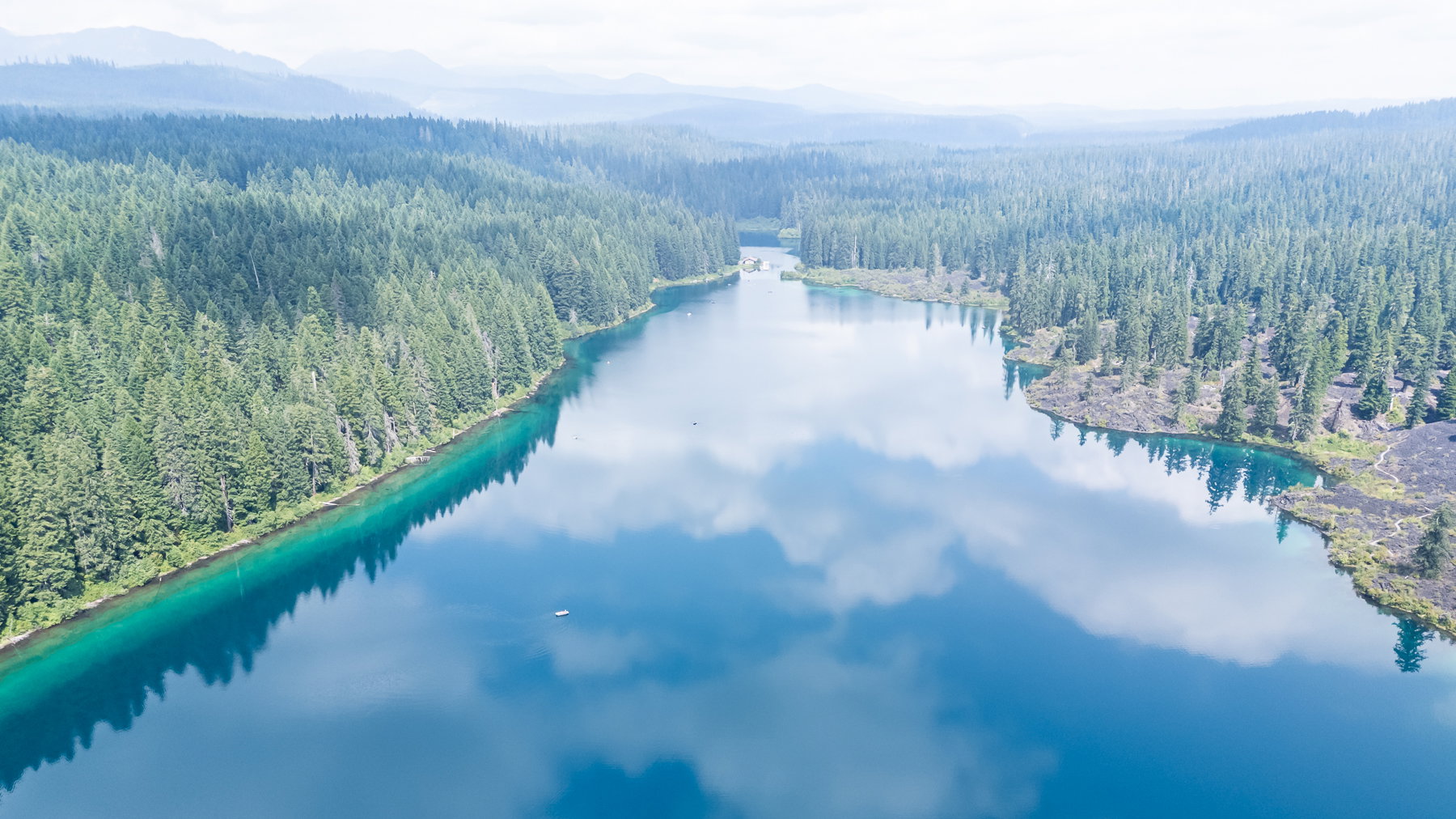
Clear Lake
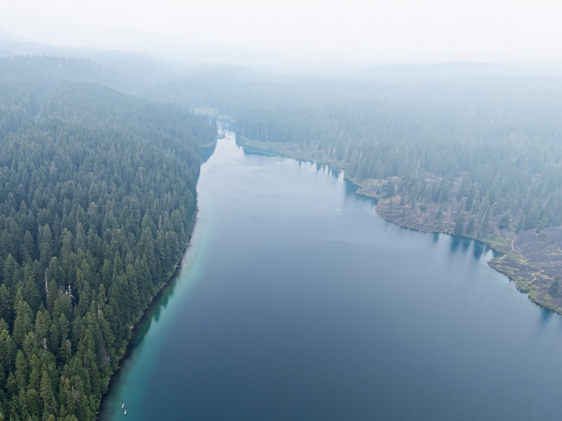
Smoky skies before the rain that allowed the first picture in the post
The photographer is looking for thoughtful feedback on the image as a whole, especially around the areas noted below.
About This Image
I’m sharing two images taken a day apart at Clear Lake in the Willamette National Forest (Oregon, USA).
Image 1: This is the image I was hoping for. I didn’t get it the first day (Image two) because wildfire smoke and an east wind turned the sky hazy, blew ashes into our campground, and generally made us consider leaving the next morning if conditions (including air quality) didn’t improve. The camp host assured us she would go through the campground and let us all know if evacuation level 1, 2 or 3 was ordered for our area.
We were far enough away (35-40 miles) that we were not under any order, but to get there, we had driven through a vast area of destruction where the 2020 Beachie Creek and Lionshead fires shifted their course and swept through the N. Santiam River valley, destroying and many communities, trapping and killing several folks in their cars while trying to escape, and sending residents in one community down into the middle of the river to wait it out hoping to survive in the water as fire raged around them. That fire earned Portland the “worst air quality in the world” title for about a week. More on it here https://en.wikipedia.org/wiki/Santiam_Fire.
Anyway, this was not that fire, but a series of much smaller fires with a bit more distance between them.
Now back home, processing the images, I thought it might be interesting for folks to see a comparison. The closest fire was maybe 35-40 miles away, and now, in Portland, we have smoky skies here, a good 75 miles from any fire. With Spokane a disaster area and over 2 Million acres burned in Oregon alone this summer (by August 3rd, no less), a Dickensian reference showing different atmospheres seemed in order.
Feedback Requested
I’m mostly sharing to show the differences in the same general scene under decent conditions and smoky conditions. The perspective is different (it’s drone imagery, and of course, I’m not paying enough attention to altitude or precise gps point). That said, I do like the first image and I’m open to any and all suggestions for improving it.
Technical Details
DJI Mini Pro at 6.72 mm, ISO 180, f 1.7, 1/2000s
None of the settings are really intentional. I’m working up to shooting manual while flying. Right now, I just want to avoid annoying people or getting in the way of legitimate aircraft and make sure my $1000 investment gets home before it runs out of juice.
 Looks like a great place to spend a few days. I like the clearer view, where the modest smoke helps pull my eyes into the distance but keeps the focus on the lake and the great reflections, especially the clouds. Is the white boat in the lower left, the “famous” kayaker?